This is the first post of a series of posts that describe the problem related to land administration in Maharashtra State.
So almost every village has a draft or final Zone Map. These Zones were marked somewhere in 1980s or 1990s.
And you don't have access to these Zone maps. They are not online. They are not in the village office. Nor with the Gram Panchayat.
They are available in the Town Planning office of the respective taluka. The maps are in very bad condition.
Recently, scanned copies are made available on the computer of the person inside the Town Planning Office.
Now these Zone Maps use "Survey Number" to demarcate the lands. But currently, Land Titles have "Gat Number". Because of this mismatch, it has turned into a lengthy process to find out the zone of your land.
Now understand the dilemma:
To start a manufacturing business, it's better to get land in the "Industrial" or "Agricultural" zone.
But to know the zone of any particular land, you need to go through a month long process.
Thankfully, atleast in Sangli, there is one private business that has undertaken this and makes available the zone of any land in any village to you. (Name is Gomtesh CAD Services).
But again, the zone that this guy provides can't be used for official purposes. It's just useful to know before you buy the land.
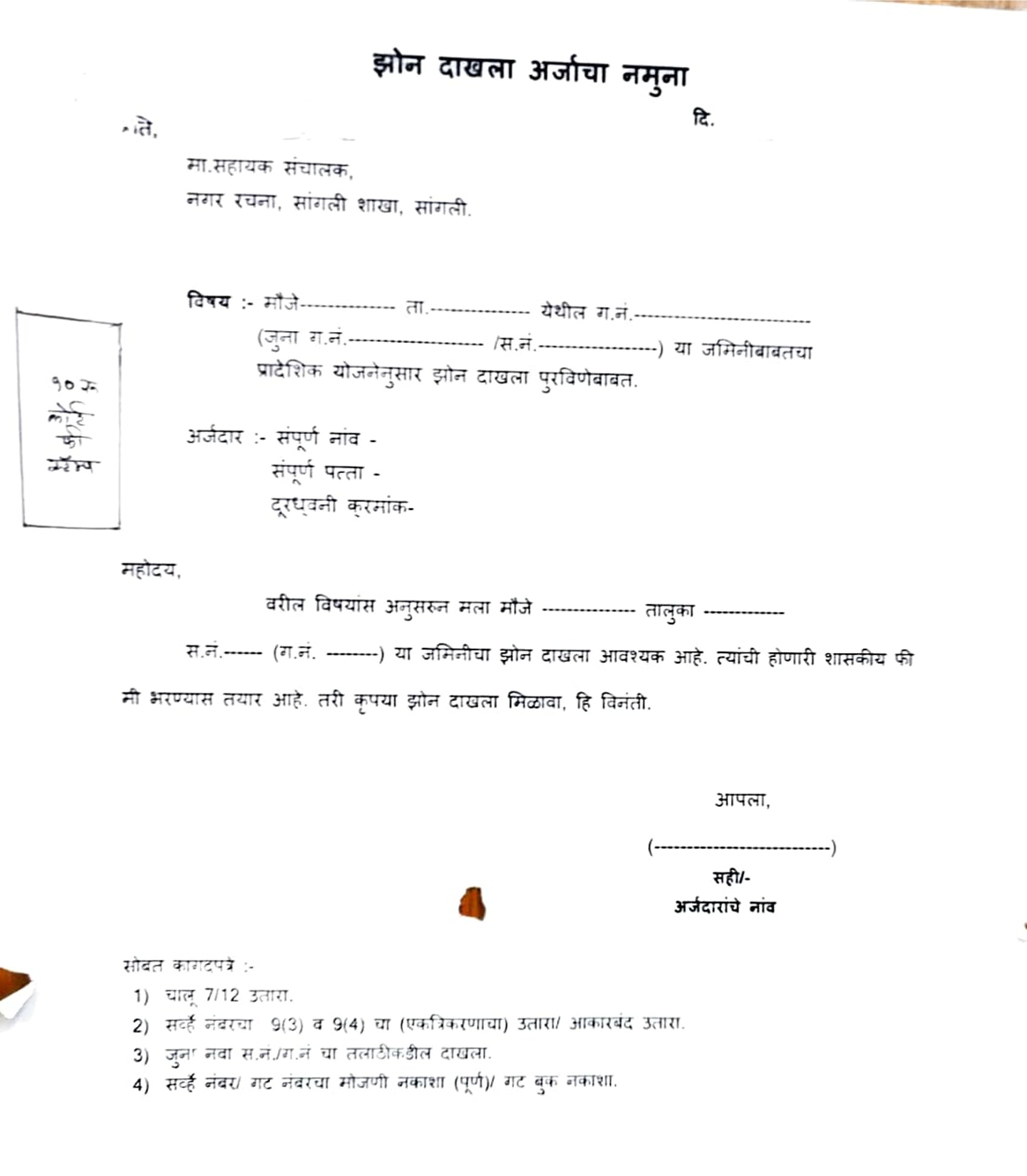
After you buy the land, you need to get something called "Zone Certificate". Which is the only official way to know the zone of the land.
Obviously the people inside the Town Planning Office are very non-cooperative.
Here's what you need for getting the Zone Certificate:

- 7/12
- 8A
- 9(3)/9(4)
- Gat Nakasha
- Mojni Nakasha (Land Measurement Map)
Another problem I encountered that is that they ask for original copies of all the above documents.
The first two documents are available online and you always have it.
The next three documents can be obtained through one application to the Bhulekh office and they'll give you the documents in 15 days.